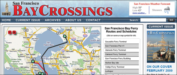
Published: March, 2009 Current-day schedules for all ferry services are now quickly accessible in a single place. Just click on a terminal to display both the departure and arrival times for that day. In addition, the map contains other views centered around the San Francisco Ferry Building to help travelers plan their trips. The gates view provides a closeup of the gates area with departure and arrival times and the transit view displays connecting transit services for BART and MUNI. Being an interactive Google map, users can also explore the areas surrounding the ferry terminals located around the bay by using the various zoom tools. The map is built by ViewPoint Geography and it retrieves data from a link to transit information provided by Trillium. These two companies worked in conjunction with Bay Crossings to provide this exciting way to make transit information more powerful and easier to use.


